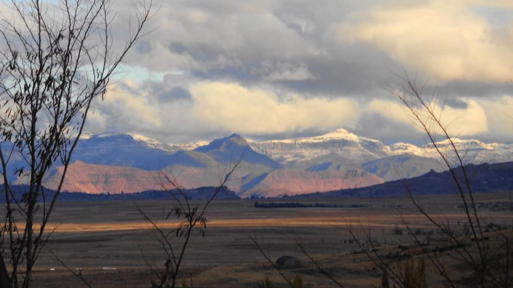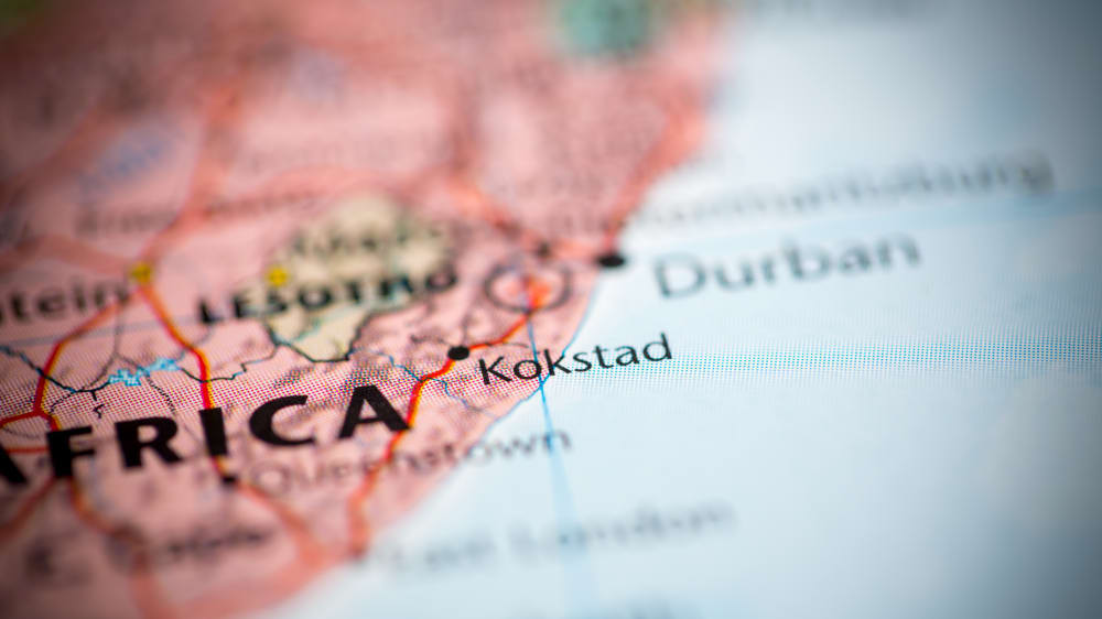


Griqualand East, officially known as New Griqualand, was one of four short-lived Griqua states in Southern Africa from the early 1860s until the late 1870s and was located between the Umzimkulu and Kinira Rivers, south of the Sotho Kingdom. Before the arrival of migrants from the west and north, the area formed part of the Mpondo kingdom under King Faku, who ruled as sovereign of the ethnically Xhosa dynasty from 1815–1867. During his reign, Faku initially welcomed many refugees who came over the territory's north-eastern border, fleeing from the incursions and raids by the army of Shaka. As Faku eventually realised that his warriors could not defend the eastern part of his kingdom against Shaka, he decided to evacuate the area, leaving behind what became known as Nomansland .
Meanwhile, a group of Griquas who had left the Cape of Good Hope in the 18th century[8] and had settled in the area around present-day Philippolis in 1826 faced the prospect of their area coming under the control of the emerging Orange Free State. In 1861 most of these inhabitants embarked on a tiresome and exhausting journey, leaving to move southwards over the Drakensberg mountain range, but first-hand witnesses give two differing narratives of the reasons and motivations for their last trek.
There are three reserves, Mount Currie, Wilfred Bauer and the Mountain Lake Nature Reserve.
- Hiking and sightseeing trails
- Birding
- Wild Coast Casion Resort nearby in the Transkei
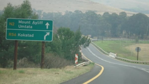
- Historical museums, monument and buildings in Koksstad the Capital
- Country and Garden Festival in early November